
Land Surveys
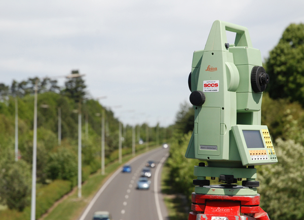
What we do: Trigon carry out land and topographical surveys using market-leading Leica total stations and GPS receivers. Instrument observations collected on site are downloaded and processed using advanced N4CE software to produce a survey in a digital format to the clients’ specification. All surveys are generally undertaken to RICS Client Specification Guide: Measured surveys of land, buildings and utilities, 2010. A hard copy can also be provided to any scale requested.
Flexible and tailored to you
The size of the site we can survey ranges between a single house plot for redevelopment to a parcel of land of 20 hectares or more.
We tailor surveys to the clients’ specific requirements regarding information to be included, and present this within the digital output to any defined system of coding or layering.
What a perfect service and flow this has been, I am extremely impressed and very thankful to you for your hard work and attention to detail. I really apricate your efforts, Thank You. Vaughan is professional, attentive and forward thinking from the phone call to completion of the surveyed drawing.
Surveys can be referenced to an arbitrary local level and coordinate system, or to the Ordnance Survey level, datum and national grid.
Please call 07864 269005 or email enquiries@trigonsurvey.co.uk for details and a quotation.
- Preliminary stage walk over photographic surveys and reports
- Preliminary stage topographical surveys to pick up specified detail only (e.g. boundaries or trial pit and borehole positions), or to check validity of archived information by overlaying electronically. These can be superimposed on OS base mapping if required.
- Fully detailed topographical surveys (often referred to as just “topo” or “topo survey”)
- As-built topographical surveys (following completion of the development project)
- Fully integrated additions and extensions to past surveys carried out by others
- Earthworks sections and volumetric calculations
- Enquires and advice on utility services
- Advice on current drainage provision, flood risk and sustainable drainage (SUDS) implications
- Enquiries into past activities, potentially contaminative previous uses, and recommendations for further geo-environmental investigation