
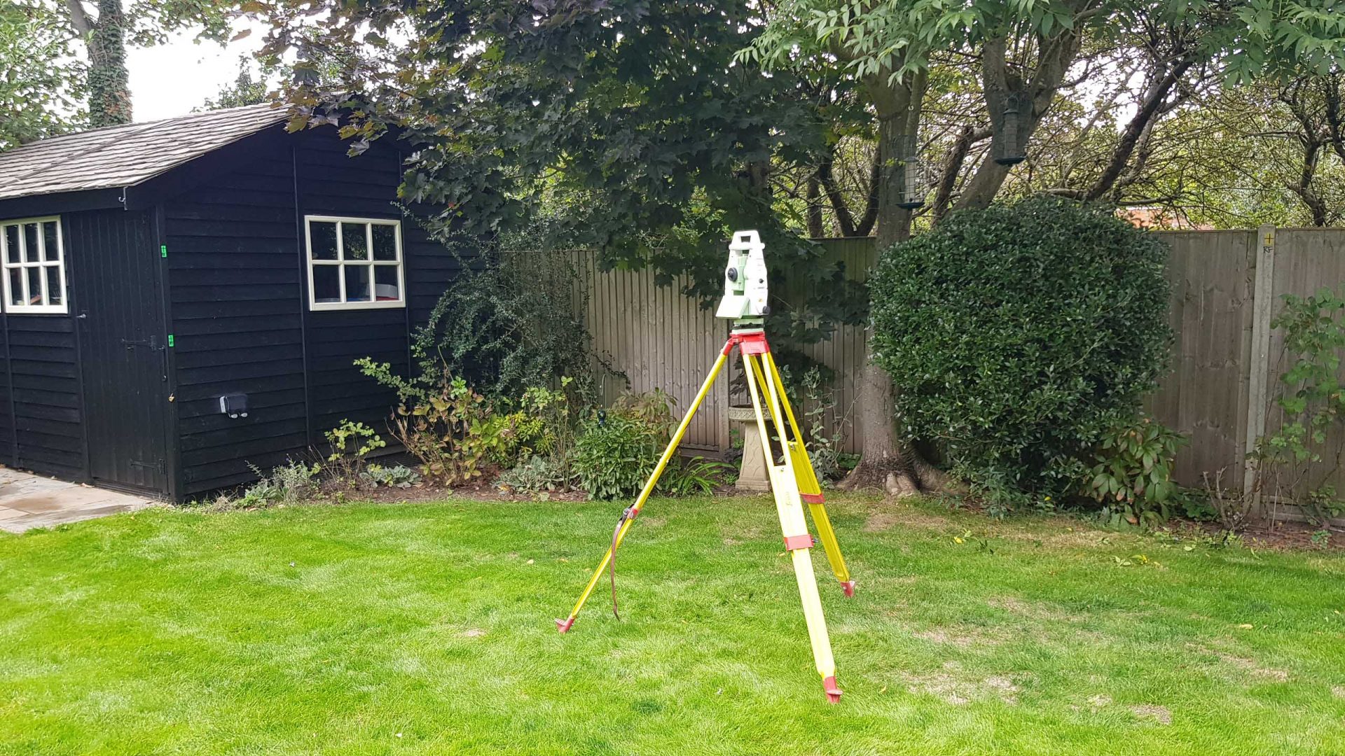
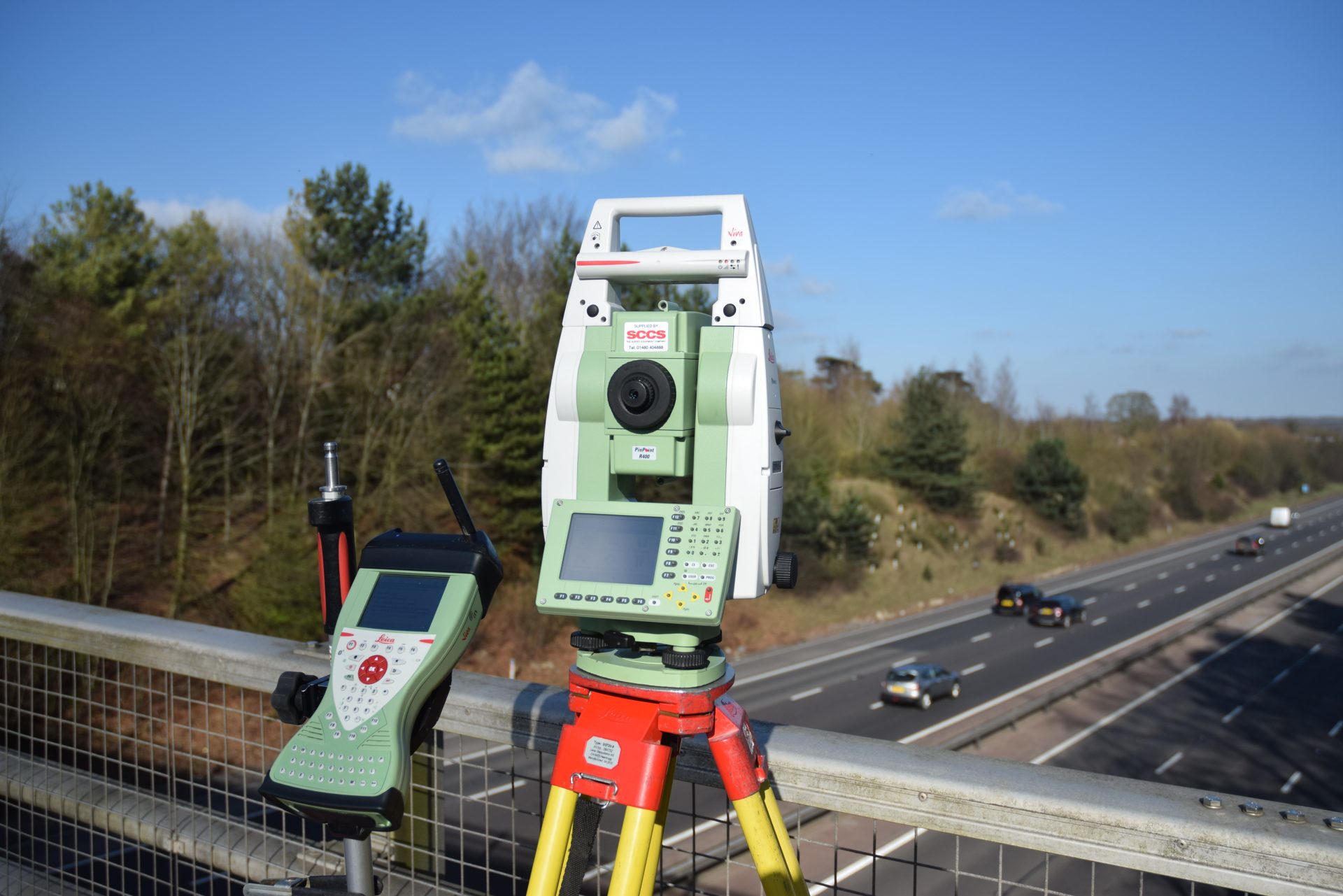
 Trigon own and operate market leading, highest specification Leica TCRA total station theodolites to ensure the highest standard of recording accuracy.
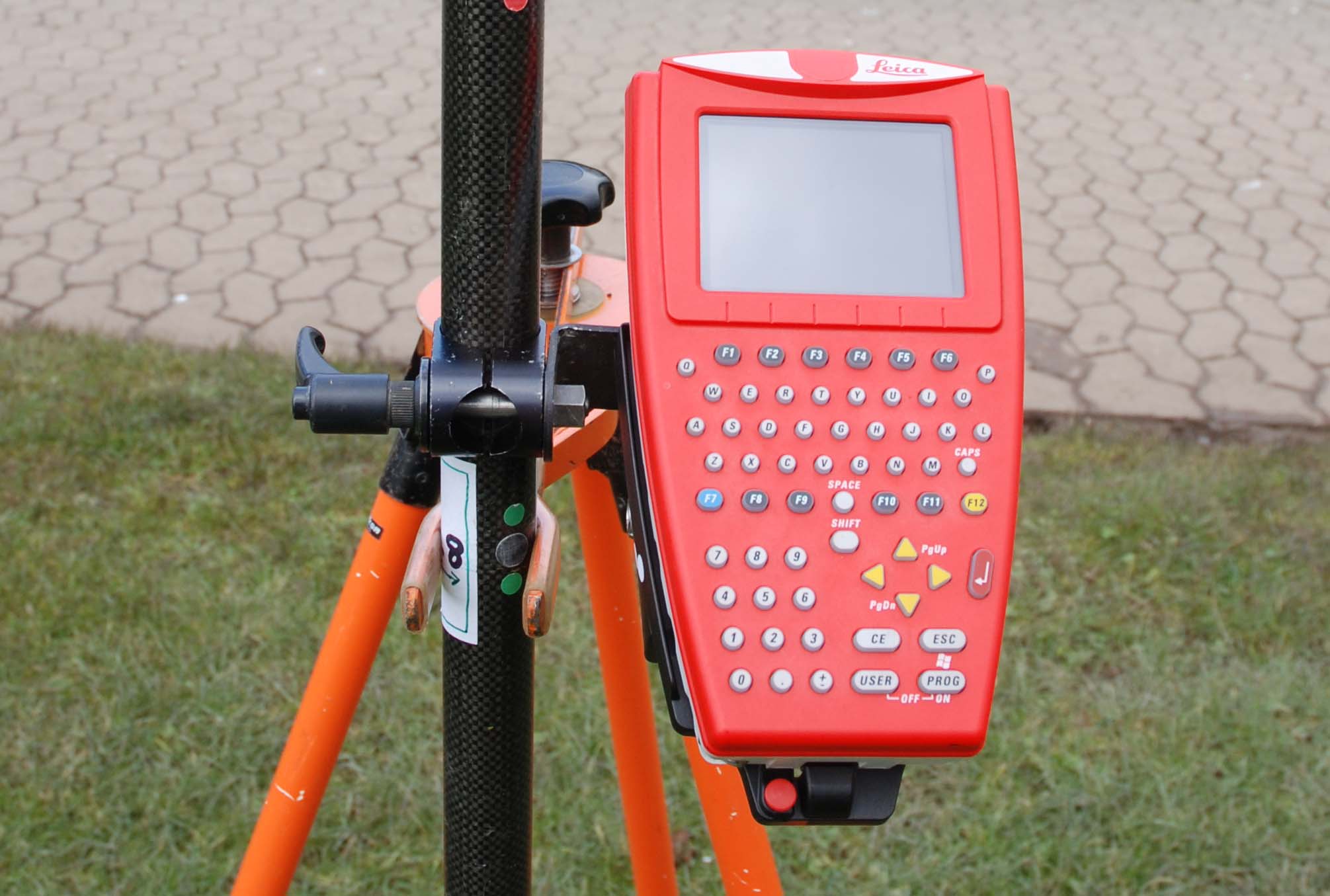
Ancillary equipment includes detail poles with remote controllers for one-man operation, modems and batteries, full range of prisms and all necessary tripods.
In addition, we own and operate GPS smart rovers to enable survey stations to be referenced rapidly, and with high accuracy, into the OS National Grid. The survey can then be easily integrated with OS base mapping of a wider geographical area, or appended seamlessly into past OS based surveys by others.
Survey observations are processed using widely recognised and respected N4CE software to produce finished survey drawings. These can be tailored to your exact requirements in terms of coding, layering, contouring and line type conventions.
The topographical or land survey can be delivered in 2D or 3D AutoCAD or DXF electronic formats, and/or in hard copy as required. Investigation reports are issued in A4 format either as WORD or PDF files.