Setting out Data Preparation Services for Construction Projects
The usability and understandability of setting out directions provided by designers on Building and Engineering Projects vary widely from project to project. In addition, design work devolved to specialist subcontractors (e.g. Steelwork fabricators) may not fully address setting out data requirements, and can often have been drafted on coordinate grids that differ from the site survey.
Sometimes there are inconsistencies too between common parts that have been worked on by differing design teams.
The consequence can therefore be a considerable amount of drawing conversion, data extraction and cross checking prior to upload of coordinates and levels into survey instruments for setting out on the ground.
Trigon Survey & Investigation Ltd can assist in this process by providing the following “stand alone” services to clients, contractors and designers:
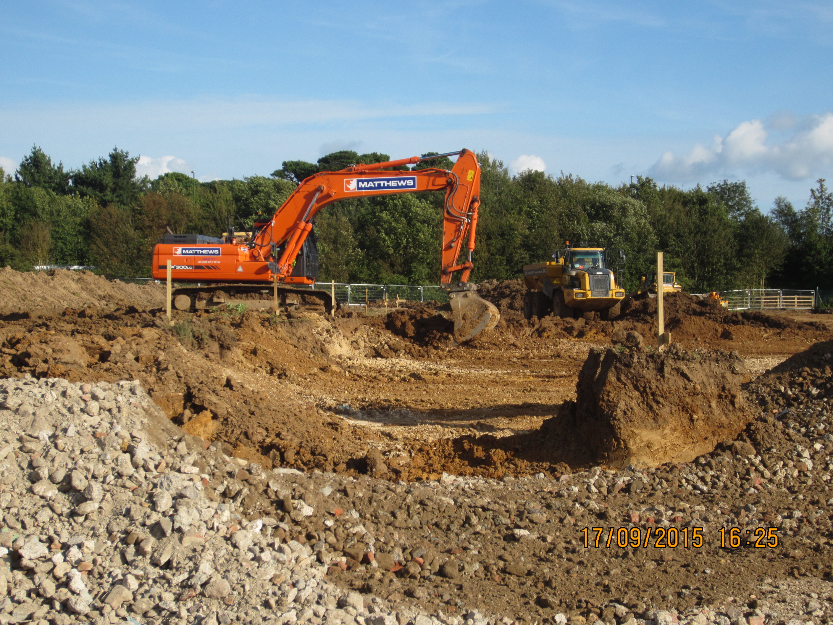
1. Prestart information review
Review of all Architects’, Engineers’ and Subcontractor drawings and data.
Provision of written recommendations and a strategy for setting out the works to a unified coordinate reference system.
2. Provision and maintenance of site reference stations and level datums
Accurately installed and well calibrated and maintained reference stations are a vital part of any site’s setting out strategy.
Trigon can install and maintain these, either to the local survey grid adopted for the design or to Ordnance Survey National Grid and Level Datum.
3. Extracting Data from design drawings
Often, setting out data provided by designers on a project can fall short of giving all the critical information needed by setting out engineers to set the works out in ways the actual construction of the job demands.
For instance:
- Foundation offset lines.
- Face of brickwork offset lines.
- Main gridlines projected outside work area.
- Pile coordinates.
- Drainage offset lines.
Trigon can readily generate this information by further development of the designers’ CAD drawings (i.e. creation of required offset lines) and extract 3D coordinates from same as file types for direct upload to the main types of survey instrument (e.g. Leica, Trimble, Topcon) used on sites.
In addition, numbered diagrams and excel data sheets will accompany the data files to give unambiguous guidance to engineers on the ground.
4. Machine Control Data
We are noticing the increasing use of directly controlled (i.e driverless machines) in construction. They can include scrapers, dozers, excavators and regulators.
These employ GPS receivers that require coordinate string information in the form of a “.dxf” data file to Ordnance Survey Grid and Datum, so that the design “model” is shaped or excavated on the ground by the machine in question.
Trigon can prepare these control files using a similar process to that described in the section above for setting out instruments.
If the design has been prepared on the basis of a survey to an arbitrary local grid and datum, conversion of this to OS basis is quite often a straightforward procedure.
5. On site training
Trigon can provide one to one on the ground training to site engineers that may still be developing their competencies.
Typical topics for coverage might be:
- Review of equipment and recommendations re alternative settings and accessories.
- Simple methods of orientation to site grid and datum.
- One man techniques and use of robotic equipment, avoiding the need for chainman labour.
- Use of direct GPS equipment (e.g. net rover).
- What scale factor error is and how it can be controlled.
For further information or a discussion how we may be of assistance with any of the above on YOUR project, please email Vaughan@trigonsurvey.co.uk today, or call 07864 269005.
For further information on setting out services please go to http://trigonsurvey.co.uk/site-engineering-setting-out/